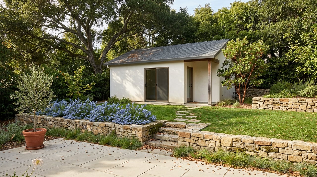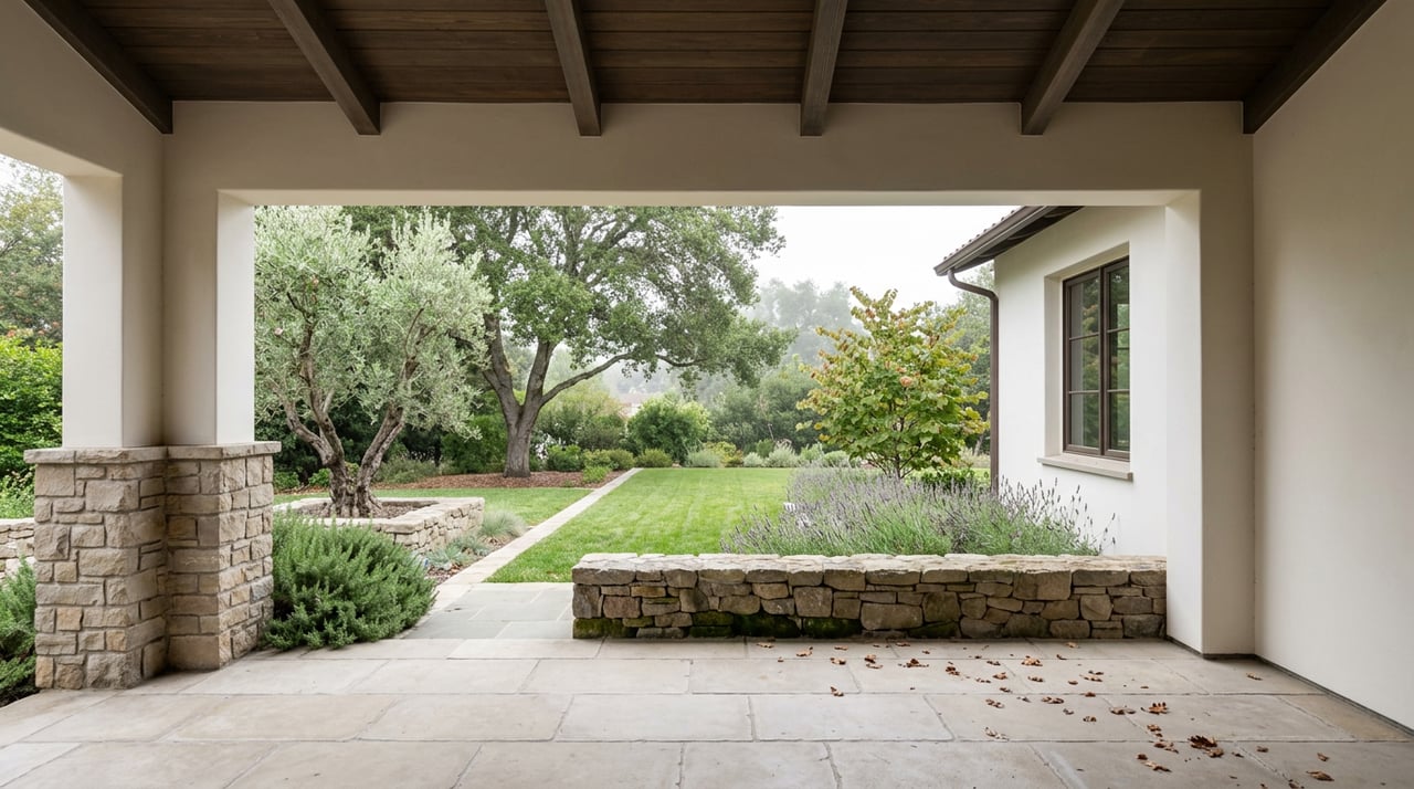
Walk the Mockingbird Hill entrance to Almaden Quicksilver County Park on a spring morning and you will see what the postcards promise: wildflowers spilling down 4,163 acres of hillside, dog walkers on wide fire roads, the kind of open space that makes a $2 million listing photo sing. What the postcards leave out is that this same ground was, for more than a century, the largest producing mercury mine in North America. That is not local trivia. It is the reason the neighborhood looks the way it does, and it is a fact that the paperwork every Almaden buyer signs was never designed to surface.
California requires sellers to hand buyers a Natural Hazard Disclosure Statement before closing. It is a six-box form. A property is either in or out of a Special Flood Hazard Area, a Dam Inundation Zone, a Very High Fire Hazard Severity Zone, a Wildland Fire Area, an Earthquake Fault Zone, or a Seismic Hazard Zone for liquefaction and landslide. Those six categories cover flood, fire, and earthquake risk. None of them were written with historic mining or soil contamination in mind, because that is simply not what the Natural Hazard Disclosure Act was built to track.
That gap matters more in Almaden Valley than almost anywhere else in Santa Clara County, because the ground under the park and the ground under the neighborhood share the same geology and the same history.
What Actually Happened on That Hillside
Mining at New Almaden began in 1845 under Andres Castillero and ran, in one form or another, until 1975. Santa Clara County bought the property in 1976 and turned it into a park, but the mining left more than ghost towns and street names behind. By the 1980s, the California Department of Health Services was sampling soil on the site, and testing in 1986 found that 69 percent of fish sampled in the Guadalupe River carried mercury levels above what is considered safe to eat. The Department of Toxic Substances Control took over investigation and cleanup once the county owned the land, and a state-approved remedial action plan implemented in 1997 removed or capped the majority of the contaminated mine waste, known as calcines, along Deep Gulch and the Hacienda Furnace Yard streambanks.
The work did not stop there. In the years leading up to 2021, Santa Clara County Parks partnered with the San Francisco Estuary Partnership to remove more than 3,800 cubic yards of toxic paved trail material inside the park, material that had been slowly eroding into the creeks that feed the Guadalupe River. That single project was projected to keep an estimated 680 pounds of inorganic mercury out of the river and the Bay. In 2005, the parties responsible for the pollution agreed to a legal settlement of roughly $6.75 million for restoration work tied to the site.
As Barbara Cook of DTSC's Brownfields and Environmental Restoration Program put it when the agency described the project: "This wonderful park would probably still be a continuing source of mercury contamination if DTSC didn't oversee this cleanup." The Environmental Protection Agency lists the site formally under its Superfund program as Almaden Quicksilver Park, and the cleanup has been layered across decades, not resolved in a single event.
Six Boxes, and a Second Document That Actually Covers This
Here is where the disclosure mechanics get interesting for anyone buying or selling near the park. The Natural Hazard Disclosure form is not where mining history would show up, because it was never structured to ask. What does apply is the separate Transfer Disclosure Statement, which every seller of a one-to-four unit residential property in California must complete under Civil Code sections 1102 through 1102.18. The TDS is broader and more open-ended. It asks sellers to disclose known material facts, including environmental hazards like contaminated soil, and California courts have held for decades, going back to the 1963 case Lingsch v. Savage, that a seller must disclose material facts known to them and not reasonably discoverable by the buyer.
In practice, that means the burden shifts. The NHD checklist tells a buyer whether they are in a flood plain or a fire zone. Whether a specific Almaden property sits close enough to the historic mining district for soil history to matter is a question that lives in the seller's own knowledge, in county park cleanup records, and in whatever a buyer chooses to ask before closing rather than in a preprinted state form.
Geography Does Most of the Work Here
It is worth being precise about where this actually applies, because "Almaden Valley" as a real estate label covers a lot of ground that has nothing to do with the mine footprint. The Superfund designation and the DTSC cleanup apply to the park itself and the historic New Almaden village at its southwestern edge, along New Almaden Road, near Alamitos Creek and the Almaden and Guadalupe Reservoirs. Residential tracts like Almaden Country Club, Graystone, and Almaden Meadows sit at varying distances from that footprint, and many were built well outside it.
The street names are a useful, if unofficial, map of that history. Silver Lode Lane and Silver Mine Drive still carry the mining era's fingerprints, a small but real signal of how close a given block sits to the district the mines actually touched. A buyer weighing a home near New Almaden Road or the reservoirs is asking a different geographic question than a buyer looking at a tract off Camden Avenue toward the northern end of the valley, even though both addresses share a 95120 ZIP code.
The Amenity and the Paper Trail Are the Same Acreage
This is the part that should reframe how you read Almaden's market data. The 4,163 acres that make this one of the most desirable places to live in San Jose, the open space, the trail network, the sense of being tucked against the Santa Cruz Mountains, are the same acres that required a decades-long federal cleanup. Almaden's premium is not despite that history. It is partly because of what the county did with the land once the mining stopped: instead of subdividing a scarred hillside, it built one of the largest county parks in the region and has spent decades making it safe to walk through.
That context is useful when you look at how erratic Almaden's own price data can look from month to month. In February 2026, Redfin recorded a median sale price of roughly $2.0 million for the neighborhood, down more than 13 percent from a year earlier. Two months later, a local market tracker reported a closed median price of $2,565,000 for April 2026, with homes selling at an average of 104.6 percent of asking price. Those two months, in the same calendar year, produced medians more than half a million dollars apart.
That is not a market changing its mind twice in eight weeks. It is what happens when a neighborhood sells so few homes in any given month that the mix of what closed, a run of starter homes versus a cluster of hillside estates, moves the median more than actual buyer demand does. Two closed sales from this past summer make the point concretely: a three-bedroom, 1,468-square-foot home on Menlo Drive sold for $1.63 million on July 1, 2026, while a five-bedroom, 3,136-square-foot home on Grimley Lane sold for $3.0 million just two days earlier. Both are real Almaden closings from the same week. Neither one, on its own, tells you what "the market" did.
What This Actually Changes for a Buyer
None of this should read as a warning to avoid Almaden Valley. It should read as a reason to ask sharper questions if a property sits close to the historic district rather than assuming the state disclosure paperwork has already answered them. That means asking a seller directly about any environmental reports tied to the property, checking whether a home's address falls inside the footprint DTSC and the EPA have documented, and treating the TDS, not the NHD, as the document that would actually carry this kind of history if it applies.
For most Almaden buyers, the answer will be that none of it touches their specific address. For a smaller number looking closer to New Almaden Road or the reservoirs, it is a conversation worth having before you write an offer, not after you have moved in.
A Few Questions Worth Asking
Does the mercury history apply to my specific street, or to the whole 95120 ZIP code? It applies to the park and the historic mining district at Almaden Valley's southwestern edge, not uniformly across the ZIP code. Many residential tracts sit well outside that footprint.
If it's not on the Natural Hazard Disclosure form, how would I ever find out? Through the Transfer Disclosure Statement, which covers known material facts including environmental hazards, through a seller's direct knowledge, or through your own research into county and EPA records for the specific parcel.
Is the fish consumption advisory on the Guadalupe River relevant to buying a home nearby? The advisory concerns eating fish caught recreationally from the river and its reservoirs. It is a separate question from a specific property's soil history, and one worth understanding on its own terms if you plan to fish those waters.
If you are weighing a home near Almaden Quicksilver County Park, or comparing Almaden Valley against another Silicon Valley neighborhood entirely, Mark Vantress can walk through what a specific address's history actually looks like before you write an offer. Let's Connect.